Post 🎥 about LearnVern & Get Rewards Share on Instagram or YouTube Win Prizes + Certificate
Post 🎥 about LearnVern & Get Rewards Share on Instagram or YouTube Win Prizes + Certificate
Active Learners

 19+ hours of on-demand video
 59 Articles
11 Exercise
![]() 27 Downloadable Resources
27 Downloadable Resources
 Access on Mobile and TV
 Life Time Access
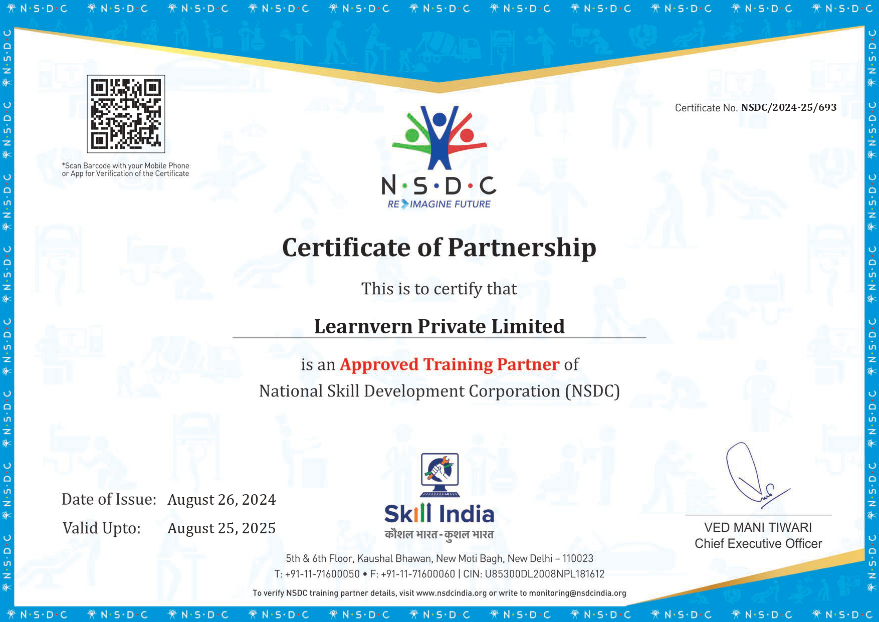
Authorized Training Partner of

You just have to Pay ₹1249 to Upgrade this free course to Skill India/ NSDC Certified Course
Join For Free Jobs That Require These Skills


Overall Rating
"Excellent and easy-to-understand free AutoCAD 2D course. The practical examples and step-by-step tutorials are perfect for beginners."

very good explanation very helpful beginner it will clear everything very well
very good
Explanation is superbb but videos quality is very poor. It seems like course is designed for mobile.
perfect learning platform
Ndsc certificate is not provided
I PREFER TO TEKLA SO ,PLEASE MAKE VIDEOS ON TEKLA STRUCTURE.
excellent............
GRET AND BEST COURSE
Best
Best course for beginners
please add aurtcam 2018 course
please add aurtcam 2018 course
Pleas Artcam 2018 ka course add kro.
Thankyou...
You will need to download the Autocad Software which is available from the Download Autocad Student Version https://www.autodesk.com/education/edu-software/overview?sorting=a_z&page=1&filters=aec-products,individual
LearnVern has tie ups with hundreds of employers that will be able to hire you after you complete the course. Currently all the major companies in this field are hiring aggressively for talented engineers and LearnVern will be able to help you find the right job opportunity.

 Build strong resume
Share a personalized message with your friends.